Skip to content
Services
Engineering
Transportation
Road Engineering
Bridge Engineering
Bike & Pedestrian Paths
Roundabouts
Intersections
Public Works
Water & Wastewater
Natural Gas
Drainage
Local Roads
Recreation & Parks
Grants Administration
Development
Commercial
Industrial
Municipal Facilities
Structural
Civil/Site
Geospatial
Land Surveying
Construction Layout
Right-of-Way Mapping
Boundary Surveys
Topographic Surveys
Remote Sensing
Instrumentation
Hydrographic Survey
Photogrammetry
LiDAR
GIS & Other
GIS Services
Volumetric Surveys
3D & Asset Modeling
High-Accuracy Laser Tracking
Infrared Thermography
Construction Services
Contract Management
Project Initiation
Quality Assurance
Project Controls
Inspection
Construction Engineering and Inspection
Construction Layout
Builder’s Packages
Construction Simulation and Clash Detection
Culvert / Bores Inspection
On-Site QA/QC
Projects
Engineering
Transportation
Bike & Pedestrian Paths
Bridge Engineering
Drainage
Geospatial
Intersections
Road Engineering
Roundabouts
Public Works
Drainage
Recreation & Parks
Roadways
Wastewater Systems
Water & Wastewater
Development
Civil/Site
Commercial
Industrial
Municipal Facilities
Structural
Geospatial
3D & Asset Modeling
GIS
Hydrographic Survey
Land Surveying
LiDAR
Photogrammetry
Construction Services
CE&I
Construction Layout
Inspection
Project Controls
Simulation & Clash Detection
About Us
Forte & Tablada
People
Core Values
Brookhill Ferry Shipwreck
F&T News
Careers
Open Positions
Student Internship Program
Contact Us
Services
Engineering
Transportation
Road Engineering
Bridge Engineering
Bike & Pedestrian Paths
Roundabouts
Intersections
Public Works
Water & Wastewater
Natural Gas
Drainage
Local Roads
Recreation & Parks
Grants Administration
Development
Commercial
Industrial
Municipal Facilities
Structural
Civil/Site
Geospatial
Land Surveying
Construction Layout
Right-of-Way Mapping
Boundary Surveys
Topographic Surveys
Remote Sensing
Instrumentation
Hydrographic Survey
Photogrammetry
LiDAR
GIS & Other
GIS Services
Volumetric Surveys
3D & Asset Modeling
High-Accuracy Laser Tracking
Infrared Thermography
Construction Services
Contract Management
Project Initiation
Quality Assurance
Project Controls
Inspection
Construction Engineering and Inspection
Construction Layout
Builder’s Packages
Construction Simulation and Clash Detection
Culvert / Bores Inspection
On-Site QA/QC
Projects
Engineering
Transportation
Bike & Pedestrian Paths
Bridge Engineering
Drainage
Geospatial
Intersections
Road Engineering
Roundabouts
Public Works
Drainage
Recreation & Parks
Roadways
Wastewater Systems
Water & Wastewater
Development
Civil/Site
Commercial
Industrial
Municipal Facilities
Structural
Geospatial
3D & Asset Modeling
GIS
Hydrographic Survey
Land Surveying
LiDAR
Photogrammetry
Construction Services
CE&I
Construction Layout
Inspection
Project Controls
Simulation & Clash Detection
About Us
Forte & Tablada
People
Core Values
Brookhill Ferry Shipwreck
F&T News
Careers
Open Positions
Student Internship Program
Contact Us
F&T Latest News
Trent McKinney passes his FE exam
August 14, 2025
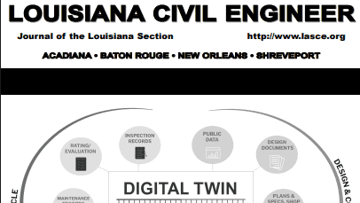
Joey Coco, PE Authors Cover Story on Digital Twins in Louisiana Civil Engineer
June 30, 2025
Ross Wilson, PLS received his Surveying CFed License
June 26, 2025
Mitchell Brooks Passes PE Exam
June 18, 2025
Leadership Livingston Class of 2025
June 18, 2025
Brad Holleman, PLS, PE, Named Louisiana Director for National Society of Professional Surveyors
April 24, 2025
Forte and Tablada and PEC Join Forces to Strengthen Infrastructure Services Across the Region
April 16, 2025
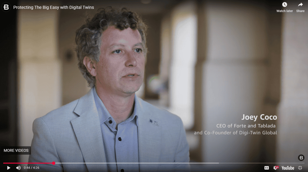
Joey Coco Interviewed by Bentley Systems About Digital Twins
March 27, 2025
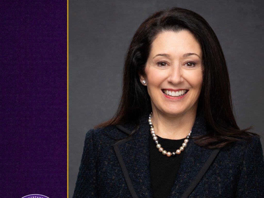
Ann Forte Trappey, PE – Named 2025 Association Hall of Distinction Honoree
March 6, 2025
F&T Named Finalist for Medium Business of the Year by the Ascension Chamber of Commerce
February 2, 2025
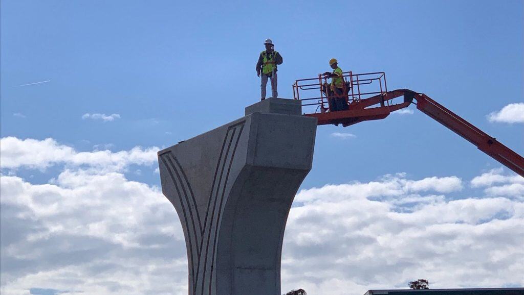
I-10 Loyola Interchange Project Recognized as one of ENR’s Best Projects in Texas and Louisiana
January 17, 2025
Joey Coco Chosen for Sid Edwards Transition Team on Transportation and Infrastructure
December 19, 2024
« Previous
1
2
3
4
5
…
10
Next »
Services
Engineering
Transportation
Road Engineering
Bridge Engineering
Bike & Pedestrian Paths
Roundabouts
Intersections
Public Works
Water & Wastewater
Natural Gas
Drainage
Local Roads
Recreation & Parks
Grants Administration
Development
Commercial
Industrial
Municipal Facilities
Structural
Civil/Site
Geospatial
Land Surveying
Construction Layout
Right-of-Way Mapping
Boundary Surveys
Topographic Surveys
Remote Sensing
Instrumentation
Hydrographic Survey
Photogrammetry
LiDAR
GIS & Other
GIS Services
Volumetric Surveys
3D & Asset Modeling
High-Accuracy Laser Tracking
Infrared Thermography
Construction Services
Contract Management
Project Initiation
Quality Assurance
Project Controls
Inspection
Construction Engineering and Inspection
Construction Layout
Builder’s Packages
Construction Simulation and Clash Detection
Culvert / Bores Inspection
On-Site QA/QC
Projects
Engineering
Transportation
Bike & Pedestrian Paths
Bridge Engineering
Drainage
Geospatial
Intersections
Road Engineering
Roundabouts
Public Works
Drainage
Recreation & Parks
Roadways
Wastewater Systems
Water & Wastewater
Development
Civil/Site
Commercial
Industrial
Municipal Facilities
Structural
Geospatial
3D & Asset Modeling
GIS
Hydrographic Survey
Land Surveying
LiDAR
Photogrammetry
Construction Services
CE&I
Construction Layout
Inspection
Project Controls
Simulation & Clash Detection
About Us
Forte & Tablada
People
Core Values
Brookhill Ferry Shipwreck
F&T News
Careers
Open Positions
Student Internship Program
Contact Us
Services
Engineering
Transportation
Road Engineering
Bridge Engineering
Bike & Pedestrian Paths
Roundabouts
Intersections
Public Works
Water & Wastewater
Natural Gas
Drainage
Local Roads
Recreation & Parks
Grants Administration
Development
Commercial
Industrial
Municipal Facilities
Structural
Civil/Site
Geospatial
Land Surveying
Construction Layout
Right-of-Way Mapping
Boundary Surveys
Topographic Surveys
Remote Sensing
Instrumentation
Hydrographic Survey
Photogrammetry
LiDAR
GIS & Other
GIS Services
Volumetric Surveys
3D & Asset Modeling
High-Accuracy Laser Tracking
Infrared Thermography
Construction Services
Contract Management
Project Initiation
Quality Assurance
Project Controls
Inspection
Construction Engineering and Inspection
Construction Layout
Builder’s Packages
Construction Simulation and Clash Detection
Culvert / Bores Inspection
On-Site QA/QC
Projects
Engineering
Transportation
Bike & Pedestrian Paths
Bridge Engineering
Drainage
Geospatial
Intersections
Road Engineering
Roundabouts
Public Works
Drainage
Recreation & Parks
Roadways
Wastewater Systems
Water & Wastewater
Development
Civil/Site
Commercial
Industrial
Municipal Facilities
Structural
Geospatial
3D & Asset Modeling
GIS
Hydrographic Survey
Land Surveying
LiDAR
Photogrammetry
Construction Services
CE&I
Construction Layout
Inspection
Project Controls
Simulation & Clash Detection
About Us
Forte & Tablada
People
Core Values
Brookhill Ferry Shipwreck
F&T News
Careers
Open Positions
Student Internship Program
Contact Us
Scroll to Top