Skip to content
Services
Engineering
Transportation
Road Engineering
Bridge Engineering
Bike & Pedestrian Paths
Roundabouts
Intersections
Public Works
Water & Wastewater
Natural Gas
Drainage
Local Roads
Recreation & Parks
Grants Administration
Development
Commercial
Industrial
Municipal Facilities
Structural
Civil/Site
Geospatial
Land Surveying
Construction Layout
Right-of-Way Mapping
Boundary Surveys
Topographic Surveys
Remote Sensing
Instrumentation
Hydrographic Survey
Photogrammetry
LiDAR
GIS & Other
GIS Services
Volumetric Surveys
3D & Asset Modeling
High-Accuracy Laser Tracking
Infrared Thermography
Construction Services
Contract Management
Project Initiation
Quality Assurance
Project Controls
Inspection
Construction Engineering and Inspection
Construction Layout
Builder’s Packages
Construction Simulation and Clash Detection
Culvert / Bores Inspection
On-Site QA/QC
Projects
Engineering
Transportation
Bike & Pedestrian Paths
Bridge Engineering
Drainage
Geospatial
Intersections
Road Engineering
Roundabouts
Public Works
Drainage
Recreation & Parks
Roadways
Wastewater Systems
Water & Wastewater
Development
Civil/Site
Commercial
Industrial
Municipal Facilities
Structural
Geospatial
3D & Asset Modeling
GIS
Hydrographic Survey
Land Surveying
LiDAR
Photogrammetry
Construction Services
CE&I
Construction Layout
Inspection
Project Controls
Simulation & Clash Detection
About Us
Forte & Tablada
People
Core Values
Brookhill Ferry Shipwreck
F&T News
Careers
Open Positions
Student Internship Program
Contact Us
Services
Engineering
Transportation
Road Engineering
Bridge Engineering
Bike & Pedestrian Paths
Roundabouts
Intersections
Public Works
Water & Wastewater
Natural Gas
Drainage
Local Roads
Recreation & Parks
Grants Administration
Development
Commercial
Industrial
Municipal Facilities
Structural
Civil/Site
Geospatial
Land Surveying
Construction Layout
Right-of-Way Mapping
Boundary Surveys
Topographic Surveys
Remote Sensing
Instrumentation
Hydrographic Survey
Photogrammetry
LiDAR
GIS & Other
GIS Services
Volumetric Surveys
3D & Asset Modeling
High-Accuracy Laser Tracking
Infrared Thermography
Construction Services
Contract Management
Project Initiation
Quality Assurance
Project Controls
Inspection
Construction Engineering and Inspection
Construction Layout
Builder’s Packages
Construction Simulation and Clash Detection
Culvert / Bores Inspection
On-Site QA/QC
Projects
Engineering
Transportation
Bike & Pedestrian Paths
Bridge Engineering
Drainage
Geospatial
Intersections
Road Engineering
Roundabouts
Public Works
Drainage
Recreation & Parks
Roadways
Wastewater Systems
Water & Wastewater
Development
Civil/Site
Commercial
Industrial
Municipal Facilities
Structural
Geospatial
3D & Asset Modeling
GIS
Hydrographic Survey
Land Surveying
LiDAR
Photogrammetry
Construction Services
CE&I
Construction Layout
Inspection
Project Controls
Simulation & Clash Detection
About Us
Forte & Tablada
People
Core Values
Brookhill Ferry Shipwreck
F&T News
Careers
Open Positions
Student Internship Program
Contact Us
F&T Latest News
Brent Campbell receives the Patriot Award by Louisiana National Guard
December 21, 2023
Linsey Olivier, PE – Graduates from the Greater Shreveport Leadership Program
November 16, 2023
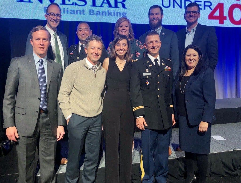
Brad Holleman Named 2023 Greater Baton Rouge Business Report “Forty Under 40”
November 8, 2023
Joey Coco – A. B. Paterson Award for an Engineer in Management
February 28, 2023
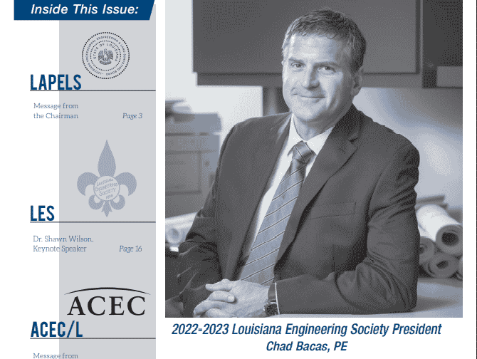
Chad Bacas P.E. – LES President 2022 – 2023
May 23, 2022
Brad Holleman – Surveyor Excellence Award
April 8, 2022
Rachel Waldroup, PLS – Forte & Tablada’s First Female Professional Land Surveyor
March 18, 2022
ACEC/Louisiana Engineering Excellence Awards
March 10, 2022
Chad Bacas – Recipient of the Vincent A. Forte, P.E. President’s Award
March 2, 2022
Congratulations Jason Fennell, P.E. – Director of Operations & Member Of The Leadership Team.
January 14, 2022
F&T’s Newest Professional Engineer – Drake Cowart
December 17, 2021
Patrick Downs Honored At The Baton Rouge Business Report Forty Under 40 Gala
November 23, 2021
« Previous
1
…
3
4
5
6
7
…
10
Next »
Services
Engineering
Transportation
Road Engineering
Bridge Engineering
Bike & Pedestrian Paths
Roundabouts
Intersections
Public Works
Water & Wastewater
Natural Gas
Drainage
Local Roads
Recreation & Parks
Grants Administration
Development
Commercial
Industrial
Municipal Facilities
Structural
Civil/Site
Geospatial
Land Surveying
Construction Layout
Right-of-Way Mapping
Boundary Surveys
Topographic Surveys
Remote Sensing
Instrumentation
Hydrographic Survey
Photogrammetry
LiDAR
GIS & Other
GIS Services
Volumetric Surveys
3D & Asset Modeling
High-Accuracy Laser Tracking
Infrared Thermography
Construction Services
Contract Management
Project Initiation
Quality Assurance
Project Controls
Inspection
Construction Engineering and Inspection
Construction Layout
Builder’s Packages
Construction Simulation and Clash Detection
Culvert / Bores Inspection
On-Site QA/QC
Projects
Engineering
Transportation
Bike & Pedestrian Paths
Bridge Engineering
Drainage
Geospatial
Intersections
Road Engineering
Roundabouts
Public Works
Drainage
Recreation & Parks
Roadways
Wastewater Systems
Water & Wastewater
Development
Civil/Site
Commercial
Industrial
Municipal Facilities
Structural
Geospatial
3D & Asset Modeling
GIS
Hydrographic Survey
Land Surveying
LiDAR
Photogrammetry
Construction Services
CE&I
Construction Layout
Inspection
Project Controls
Simulation & Clash Detection
About Us
Forte & Tablada
People
Core Values
Brookhill Ferry Shipwreck
F&T News
Careers
Open Positions
Student Internship Program
Contact Us
Services
Engineering
Transportation
Road Engineering
Bridge Engineering
Bike & Pedestrian Paths
Roundabouts
Intersections
Public Works
Water & Wastewater
Natural Gas
Drainage
Local Roads
Recreation & Parks
Grants Administration
Development
Commercial
Industrial
Municipal Facilities
Structural
Civil/Site
Geospatial
Land Surveying
Construction Layout
Right-of-Way Mapping
Boundary Surveys
Topographic Surveys
Remote Sensing
Instrumentation
Hydrographic Survey
Photogrammetry
LiDAR
GIS & Other
GIS Services
Volumetric Surveys
3D & Asset Modeling
High-Accuracy Laser Tracking
Infrared Thermography
Construction Services
Contract Management
Project Initiation
Quality Assurance
Project Controls
Inspection
Construction Engineering and Inspection
Construction Layout
Builder’s Packages
Construction Simulation and Clash Detection
Culvert / Bores Inspection
On-Site QA/QC
Projects
Engineering
Transportation
Bike & Pedestrian Paths
Bridge Engineering
Drainage
Geospatial
Intersections
Road Engineering
Roundabouts
Public Works
Drainage
Recreation & Parks
Roadways
Wastewater Systems
Water & Wastewater
Development
Civil/Site
Commercial
Industrial
Municipal Facilities
Structural
Geospatial
3D & Asset Modeling
GIS
Hydrographic Survey
Land Surveying
LiDAR
Photogrammetry
Construction Services
CE&I
Construction Layout
Inspection
Project Controls
Simulation & Clash Detection
About Us
Forte & Tablada
People
Core Values
Brookhill Ferry Shipwreck
F&T News
Careers
Open Positions
Student Internship Program
Contact Us
Scroll to Top