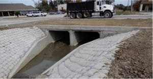
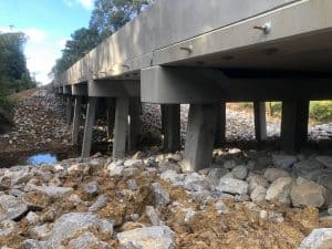
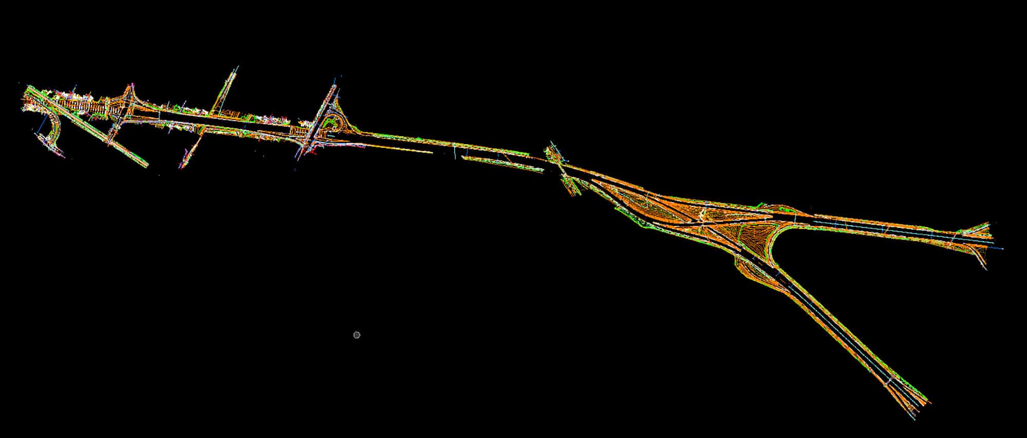
Forte and Tablada, Inc. was responsible for a Topographic survey of the I-10 corridor from approximately 500’ East of Perkins Rd. to Essen Ln., and the I-12 corridor from the I-10/I-12 Merge to Essen Ln. The topographic survey was performed to LADOTD Standards. Control targets were established along the entire corridor to tie in mobile LIDAR to the overall control. Horizontal position and vertical elevation were established at each of the control points in order to calibrate the mobile LIDAR to the overall control network. Forte and Tablada, Inc. was responsible for all field and office work within the above limits of survey as part of a team on the project.
Service
Location
East and West Baton Rouge Parishes, LA